Hi,
First of all, thank you for providing such abundant amount of data to everyone worldwide.
I am curious if there is a way to identify which carriers are using what cells from the data set downloaded?
Thank you so much!
Best,
Huso
Hi,
First of all, thank you for providing such abundant amount of data to everyone worldwide.
I am curious if there is a way to identify which carriers are using what cells from the data set downloaded?
Thank you so much!
Best,
Huso
Hi Huso,
There are 4 basic parts of a cell identifier: MCC-MNC-LAC-CID
MCC-MNC is set by International Telecommunication Union. All telecom firms have access to this information as it is publicly available.
LAC-CID can be decided by the telecom firm. This is an internal decision and telecom firms don’t share this with each other.
You can use the link above to cross reference MNC number from the database to the name of the operator.
Hello, I am also trying to determine the carriers but the MNC column is missing from the data download. How can obtain this information for specific MCCs?
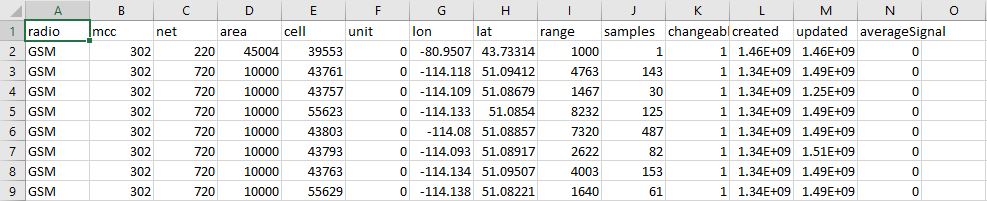
Hi, Column C ‘net’ is the MNC
So, I used the provided ITU data for MCC and MNC and crossed referenced it to OpenCellID database, but it’s hard to conclude that it’s all accurate, here is why:
I hope that makes sense. I’m simply trying to locate every tower/site and to find out which carrier is on such tower/site. I’m finding it a bit difficult to do this through this data.
Any help/leads would be greatly appreciated.
Thank you in advance.
Best,
Huso
Huso, the identifiers are tied to the cell tower. No matter what device is scanning, they’ll always get the MCC-MNC-LAC-CID for that cell.
For example,
Your phone with AT&T sim can scan cells that belong to every other telecom provider. And the cell identifiers scanned by your phone will be the same if you scan using a Verizon phone. The MNC won’t change because it belongs to the cell.
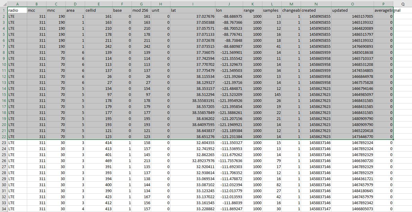
I am also trying to locate every tower/site. After sorting the carriers by MNC, removing duplicate Lat Longs, and removing entries with less than 10 samples, there are points that are very close together. The first two points in the attached picture are ~1.8 mm apart. Surely AT&T would not place cells this close to each other. This occurs many times in the data set. What differentiates these two points? Any guidance would be great.
Aren’t these coordinates from the Observer? It’s logical to be the same if the observer is still.
Furthermore, according to the base/cell scheme of my country (modulo 256), these two cell-ids belong to the same base 110432 (never seen so big number here…). The first has cell index 8 and the second 149.
So, in every case, same lat/lon is justified.
Ah okay! So if the base number of the cell ID is the same then the cells are on the same tower. I added a few columns in my spreadsheet then sorted by the base. In the screen shot, there are 21 rows with base 0. The LACs for this base are 1, 5, 6. Since the LACs differ for some of the base 0 rows are these different towers?
Maybe yes, i think something else happens.
1- First of all, we are talking about LTE only, GSM and UMTS have different schemes.
2- The numbing of cells in a base is bit peculiar with this scheme. Bases have typically from one to six antennas per mode (here 1800 - 800 - 2600), so an absolute maximum for a base is 18 cells, at least in my country. In the network i watch, i know a base with 14 cells. Another usual practice here, is when the number of cells increases, they use an additional (second) base id in the same site.
In the table you give, there are two networks, pay attention not to mix them… There are only two areas for base 0 of network 70.
3- As per your question, yes, if a base is at the boundaries of two areas, it may have more than one LAC.
You must find which is the correct scheme for your case. Search all of your data, and find how many bases are like this.
How do you get the base from the cell id? wich math operation do you do?
For what I have investigated so far what makes a tower unique is the MNC-AREA-BASE agreement.
In your example marked up to line 22, you have 2 different networks (190 and 70) where:
a) network 190: 1 tower (that of area 1 and base 0 that contains 6 cells)
b) network 70: 2 towers (that of area 6 and base 0 that contains 6 cells and that of area 5 and base 0 that contains 9 cells)
I think not. Base is unique in the whole network, not only within an area. Here in Greece (in all 3 networks), area can change, but the base number stays the same.
Areas are groups of bases (cells actually) used to divide network load and traffic between different data centers / pbxs.
So (if its indeed a "modulo 256 scheme) in network 70 there is one base, with cells in two distinct areas.
Base is calculated from [INT (cellid / 256)], and cell index is the [Remainder * 256]. In LTE.
You do not have to remove duplicate lat longs. The OpenCelliD database gives information on cells - not cell towers. A single cell tower can have multiple cells.
The file available online has only unique cells - no duplicate ones.
Nope. These are approximate positions of cell - not the coordinates of the observer.
Yes, you are right, my mistake. The BASEID (BSIC) is unique in the same network (cellular company).
Then, in network 70 of your example, there is a single tower with 6 cells grouped in area “6” and 9 cells grouped in area “5”, right?
But … why are the lat and long coordinates so different? There is a great distance between cell 154 and 123. They should have different bsic (base id) … I do not understand it.
I have the same question. If these cells are on the same base how do I know which lat/long coordinates are accurate to find the base? Should an average be taken of the lat/longs? This does not seem very accurate…
As said, this is an estimate only, computed from existing data.
There are many ways to find the exact location:
1- Local visit ![]()
2- From public records the networks publish
3- “Fox hunting” (take your phone/app and walk around)
4- By using google earth’s terrain glyph with data on it (rural area bases are usually located at hill/mountain tops). Data points are spread in a circle pattern, and base is near the center.